SALT DOUGH MAPS!!!
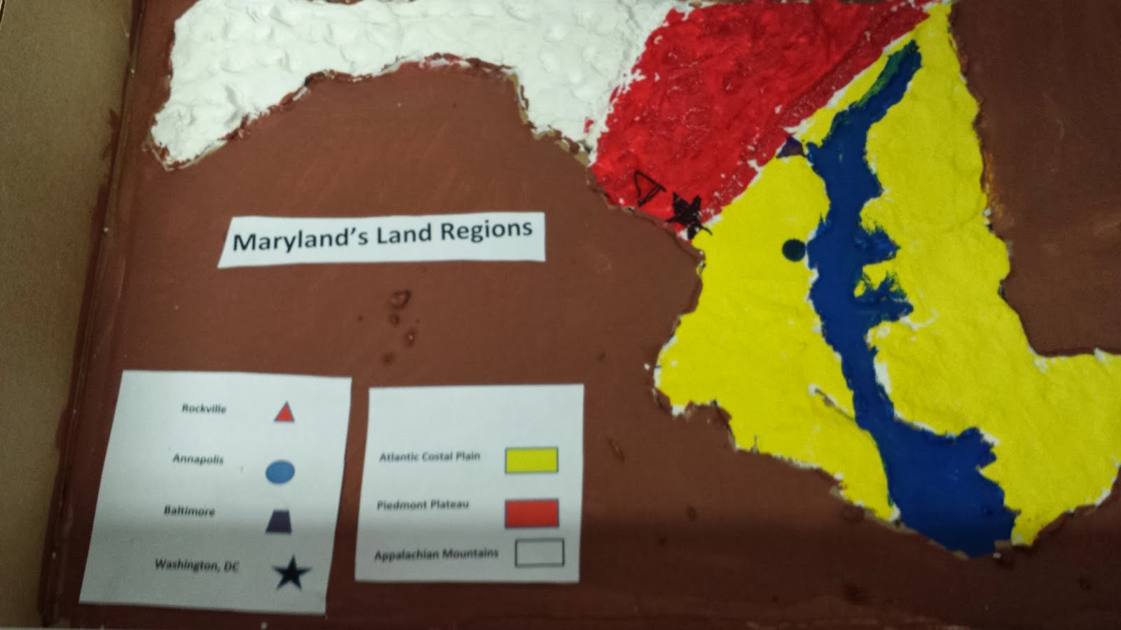
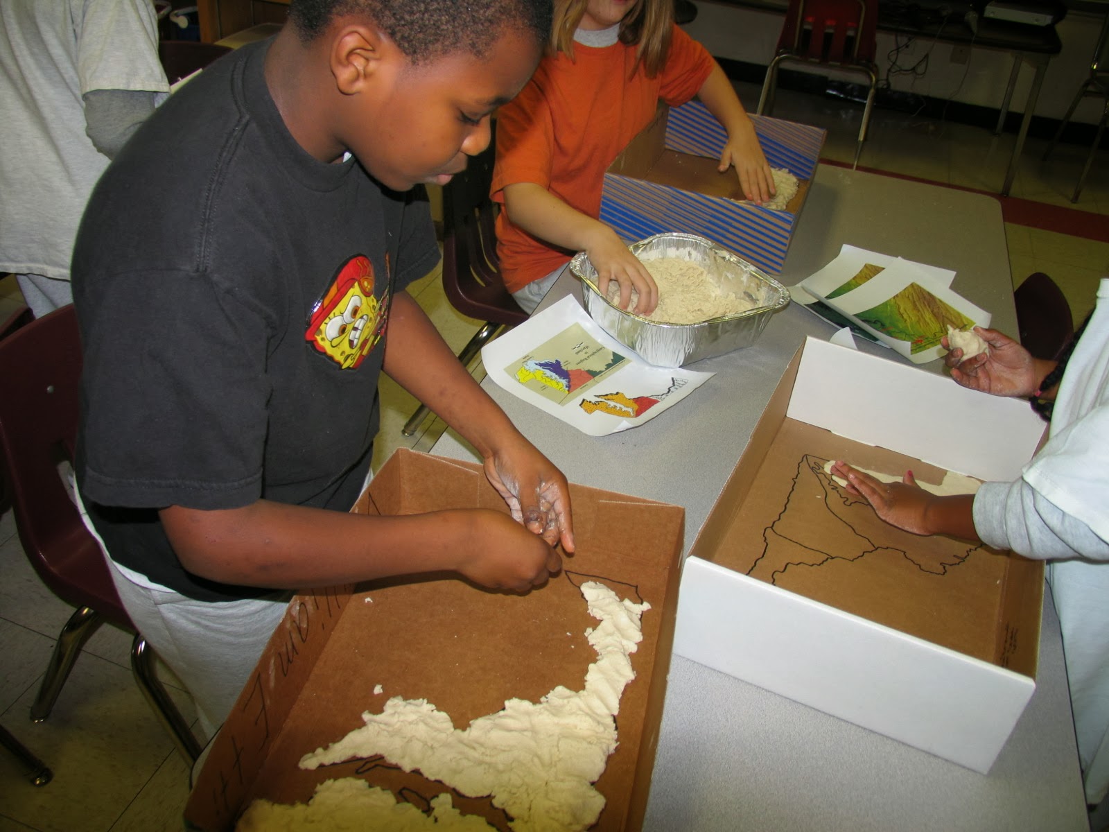
Fourth graders created maps of Maryland using salt dough. They made topography maps that showed the 3 land regions in Maryland (Atlantic Coastal Plain, Piedmont Plateau, and the Appalachian Mountains). Students also showed the location of the Chesapeake Bay, and several cities including; Rockville, Baltimore, Annapolis, and Washington DC. They later painted the maps in art class to show the different land elevations. They did a great job!